When carrying out major construction work, which will involves any kind of drilling or exaction, the need to locate underground conduits cannot be ignored. There are two primary reasons why utility detection is such an important matter today, and they include:
-
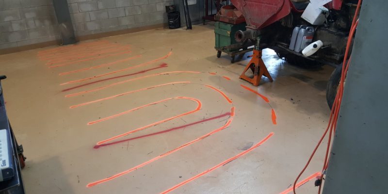
- Detection for avoidance – this is done before the excavation work begins, and it is so that the location of utilities can be known in the short term. In most cases, the locations of the detected utilities are marked on the surface with spray paint, so that when the excavation work begins, the excavator will avoid the marked sections.
- Utility surveying – the other reason for utility detection is to survey and map out the utilities in a given project area. With this, utilities are mapped digitally with their accurate positions so that asset owners can have precise knowledge of where utilities are, so that they can use this knowledge for future planning and maintenance of their properties.
Solutions for utility surveying
The preferred technology for the detection of underground utilities such as locating underground conduits is ground penetrating radar, GPR. With this radar technology, it is possible to detect all kinds of materials present beneath the surface, including plastics, concrete, and metals amongst others. It offers more versatility and convenience compared to Electromagnetic Location technology, which can only be effective in the detection of conductive materials.
The GNSS is the common positioning solution being used with hand-pushed ground penetrating radar units. GNSS antennas are simple, but very accurate, and these make it easy for utility surveyors to position utilities accurately and faster. The only problem with using GNSS, is poor satellite reception when operating urban areas, because of the tall buildings, which hamper the direct line of sight between the antennas and the satellites.